10 CLINTON ST
Owner Information
MAKRIS, NICHOLAS C.
10 CLINTON STREET
CAMBRIDGE, MA 02139


Property Details
10 CLINTON ST is classified as a Two-Family Residential (Victorian).
The primary structure on this property was built in 1886. There are 5,030ft2 of built area within this property. There is 2,956ft2 of residential/living space within this property. This property is listed as having 12 rooms. There are 2 units within this property.
10 CLINTON ST is valued at $2,274,000. The land is valued at $1,093,200 and the structures are valued at $1,180,800.
This property is in Zone C-1. Confirm with local Zoning Board authorities to ensure there are no overlays or other easements on this property.
The most recent deed for 10 CLINTON ST is recorded at the local registrar in Book 58042, Page 0060. 10 CLINTON ST was last sold on Thursday, December 8, 2011 for $249,158.
Assessment data from fiscal year 2021.
Flood Data
According to the FEMA National Flood Hazard Layer, this property does not appear to be in a flood zone. It may also be in an area not yet reviewed. Nonetheless, confirm this information prior to taking any action.
To view the flood hazards around this property, create a FEMA "Firmette" Map of the area around 10 CLINTON ST.
Broadband Internet Providers
| Provider | Type | Bandwidth (mbps) | |
|---|---|---|---|
| GCI Communication Corp. | Satellite | 0 | 0 |
| Starry, Inc. | Fixed Wireless | 200 | 200 |
| Comcast | Cable | 1000 | 35 |
| Verizon New England Inc. | DSL | 15 | 1 |
| Viasat Inc | Satellite | 100 | 3 |
| VSAT Systems, LLC. | Satellite | 2 | 1 |
| HughesNet | Satellite | 25 | 3 |
| netBlazr Inc | Fixed Wireless | 50 | 50 |
Broadband service provider data from December 2020.
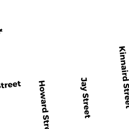
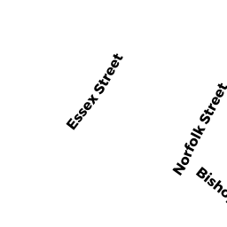
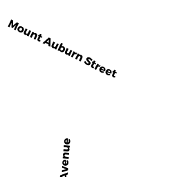
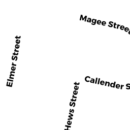
Adjacent Properties
- 15 BIGELOW ST
CONDO-BLDG owned by 15 BIGELOW STREET TRUST - 15 BIGELOW ST #1
Residential Condominium owned by JOY, DAVID - 15 BIGELOW ST #2
Residential Condominium owned by REILLY, PATRICIA J. - 15 BIGELOW ST #3
Residential Condominium owned by LE, MONICA & MARTIN PURSCHKE - 15 BIGELOW ST #5
Residential Condominium owned by HIRSCHMAN, SARAH M. - 15 BIGELOW ST #6
Residential Condominium owned by LEDWELL, JAMES R. & MARGARET R. LEDWELL TRS. - 15 BIGELOW ST #7
Residential Condominium owned by MAXWELL, MINDY, TRUSTEE - 15 BIGELOW ST #8
Residential Condominium owned by MAXWELL, MINDY, TRUSTEE - 15 BIGELOW ST #4
Residential Condominium owned by LEPERA, JOSEPH N. - 8 CLINTON ST
CONDO-BLDG owned by SIMS, KARL & PATTIE MAES - 8 CLINTON ST #8
Residential Condominium owned by SANDELL, MASON & JACQUELYN FAHEY SANDELL - 8 CLINTON ST #8R
Residential Condominium owned by MCELHINEY, JAMES P. & LOUISA A. BERTMAN - 12 CLINTON ST
Single Family Residential owned by WICKRAMASEKERA, ANANDA P. & - 13 BIGELOW ST
Two-Family Residential owned by HUMBLET, PIERRE A. & MARIE C. HUMBLET